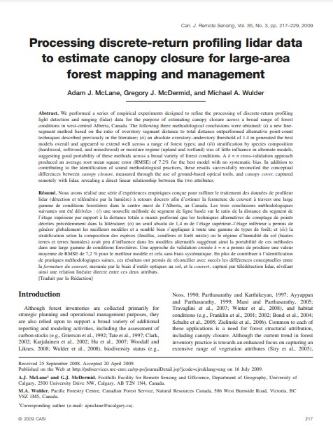
Processing discrete-return profiling LiDAR data to estimate canopy closure for large-area forest mapping and management
Bosque Modelo:
Foothills
Temática:
Desarrollo humano
Tipo de documento:
Artículo científico
Resumen
We performed a series of empirical experiments designed to refine the processing of discrete-return profiling light detection and ranging (lidar) data for the purpose of estimating canopy closure across a broad range of forest conditions in west-central Alberta, Canada. The following three methodological conclusions were obtained: (i) a new line-segment method based on the ratio of overstory segment distance to total distance outperformed alternative point-count techniques described previously in the literature; (ii) an absolute overstory–understory threshold of 1.4 m generated the best models overall and appeared to extend well across a range of forest types; and (iii) stratification by species composition (hardwood, softwood, and mixedwood) or moisture regime (upland and wetland) was of little influence in alternate models, suggesting good portability of these methods across a broad variety of forest conditions. A k = n cross-validation approach produced an average root mean square error (RMSE) of 7.2% for the best model with no systematic bias. In addition to contributing to the identification of sound methodological practices, these results successfully reconciled the conceptual differences between canopy closure, measured through the use of ground-based optical tools, and canopy cover, captured remotely with lidar, revealing a direct linear relationship between the two attributes.
Información Bibliográfica
Autor:
McLane, A.J., McDermid, G.J., & Wulder, M.A.
Revista:
Canadian Journal of Remote Sensing
Año:
2009
N°:
3
País :
Canadá
Páginas:
217 - 229
Volumen:
35
Idioma:
Ingles
Palabras claves
Model forest, canada


