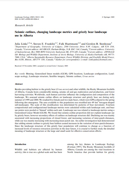
Seismic cutlines, changing landscape metrics and grizzly bear landscape use in Alberta
Bosque Modelo:
Foothills
Temática:
Conservación
Tipo de documento:
Artículo científico
Resumen
Besides providing habitat to the grizzly bear (Ursus arctos) and other wildlife, the Rocky Mountain foothills of Alberta, Canada hosts considerable mining, seismic oil and gas exploration and production, and forest harvesting activities. Worldwide, such human activities influence the configuration and composition of the landscape. We assessed seismic cutline effects on landscape structure and grizzly bear use during early summer of 1999 and 2000. We studied five female and two male bears, which were GPS-collared in the spring following den emergence. The area available to this population was stratified into 49 km2 hexagon-shaped sub-landscapes. The scale of this stratification was determined by patterns of bear movement. Fourteen compositional and configurational landscape metrics were calculated within each landscape unit, and bear use points were pooled or ‘binned’ within each unit. Landscape use was related to landscape metrics using a Generalized Linear Model (GLM). We found that seismic cutline proportion did not explain landscape use by grizzly bears; however secondary effects of cutlines on landscape structure did. Declining use was mainly associated with increasing proportions of closed forest, and increasing variation of inter-patch distances, while use was mainly increasing with increasing mean patch size. An earlier investigation had demonstrated that adding seismic cutlines to grizzly bear habitat caused increases in the variation of inter-patch distances. Since the landscape structure of this grizzly bear population will continue to change as a function of increased levels of resource extraction activities in the near future, it is crucial to further study the detailed meaning of landscape structure at the large and small scale for effective conservation efforts.
Información Bibliográfica
Autor:
Linke, J, SE Franklin, F Huettmann and GB Stenhouse.
Revista:
Landscape Ecology
Año:
2005
N°:
-
País :
Canadá
Páginas:
811- 826
Volumen:
20
Idioma:
Ingles
Palabras claves
Binning, Generalized linear models (GLM), GPS locations, Landscape configuration, Landscape ecology, Landscape structure, Satellite imagery, Seismic cutlines, Ursus arctos


